
SeeTree: AI-driven tree-health reports for farmers, built from aerial imagery
SeeTree helps farmers monitor the health of their trees with AI-driven reports that give insights into pests, diseases and fruit counts. CML Team made the native Android app's interface more responsive, reduced mission-loading delays for field workers and optimized data synchronization, and keeps adding features and third-party API integrations.
- Client
- SeeTree, Israel
- What we did
- Native Android app development. Made the interface smoother and more responsive, reduced mission-loading delays, optimized the data synchronization algorithm, and keeps adding features and third-party API integrations.
- Funding raised
- $175M
Who is the client behind SeeTree?
Founded by former Israeli intelligence officers and AI experts, SeeTree has grown to over 100 employees. It transforms tree-centric data for agriculture, packing processed data into a user-friendly intelligence platform that brings a digital experience into the farmer's world.
www.seetree.aiWhat problem did SeeTree have?
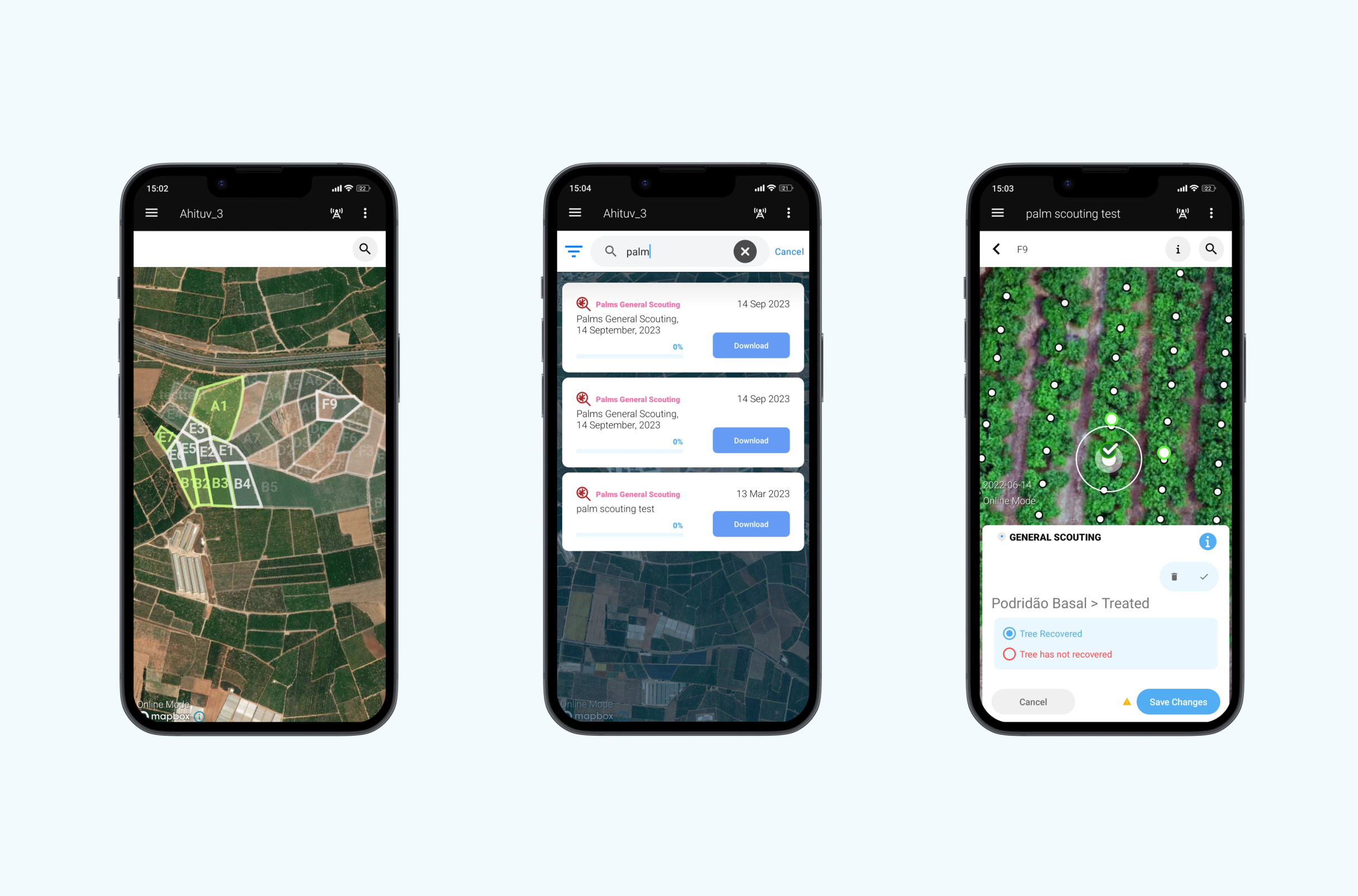
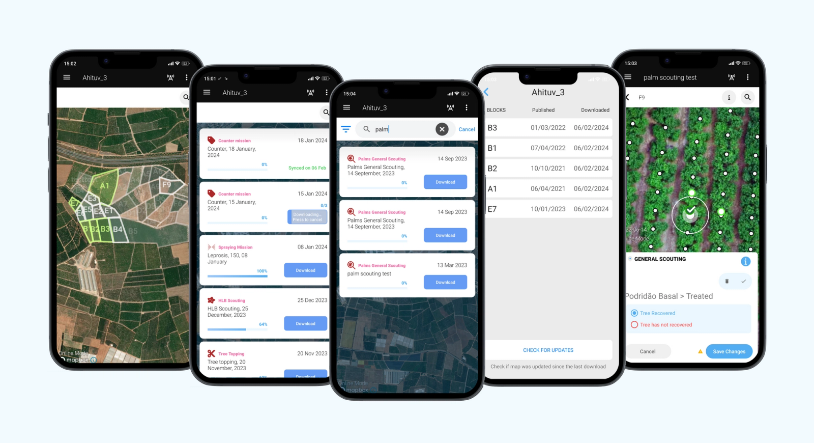
SeeTree's platform captures aerial images of the farm. It uses the aerial imagery and machine learning to process tree data, offering comprehensive metrics for farm management. SeeTree needed a more responsive user interface, faster data synchronization and improved report generation for farm workers, as well as ongoing feature enhancements and API integrations.
What did CML Team build for SeeTree?
- Native Android app development
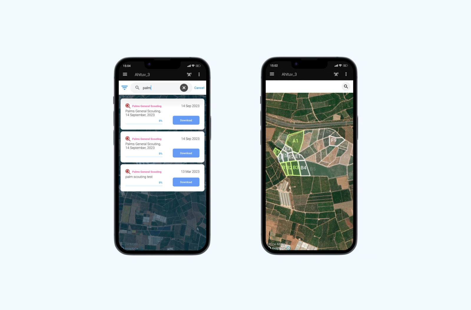
- A smoother, more responsive interface in the native Android app
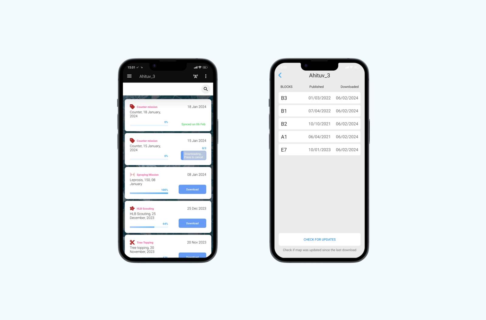
- Reduced delays in loading missions for field workers
- An optimized data synchronization algorithm
- Unified interface elements for server-driven reports
- Ongoing addition of new features to the platform
- Ongoing expansion of integrations with third-party APIs
What was the result for SeeTree?
SeeTree has given farmers precise, real-time data, improving the quality and efficiency of agricultural operations and supporting both businesses and the environment. Its platform uses aerial images and AI to provide detailed, actionable insights that help farmers optimize their operations.
Planning something similar?
Schedule a CallProject gallery
Related case studies
Updated